Motivation
To complement the increasingly relevant role of international development funds and intergovernmental organizations[1], there is a need to leverage international networks acting in the Global South and foster cross-interactions of people at large with scientists, governments, industry and policy actors.
K4P Alliances focuses on complex urban environments and landscapes in Africa and Latin America, which are particularly critical for the required green transition and our global well-being[2] . It will include urban systems[3] , value chains associated with food production, processing and circulation and the resources required to all the steps, farming, forests and the ocean, taking into account emerging forms of knowledge production and diffusion in a decentralized and AI-supported digital age.
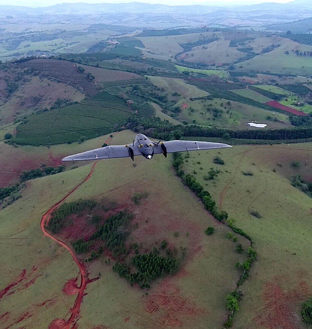
In particular, promoting new fundamental research fostering our global safety and the prevention of natural disasters and other uncertainties associated with climate change have garnered a growing interest over the last few years[4] . This includes the absolute need to accelerate the transition to carbon neutrality and to better use advanced Earth observation systems if adequately integrated with in situ sensors and modelling.
To save lives, predict natural disasters, prevent fires, control erosion of coastal areas, as well as providing quality food and services for all, can only be secured effectively through a new generation of user-driven, low-cost, space-based observation and human-based participatory systems, which require adequate resources that can only be obtained if citizens become an integral part of future developments. In addition, dealing with climate change, dramatic biodiversity loss (i.e., species extintion induced by human action), health and economic crisis, uncertainty and risks, together with ensuring security and safe conditions for our populations can only be addressed if new digital initiatives move forward in full alignment with a required green transition.
Overall, evolving forms of technology governance and the introduction of digital standards should be oriented to guarantee improved collective user responsibility in an emerging decentralized digital age boosted by AI-enabled innovations. Promoting “Human Agency” and empowering people and users at large will promote the need to educate and train every single user and this can only be achieved by boosting research and innovation, growth and competitiveness. It should include smaller companies and start-ups, stimulating forms of free and open competition with very large players. In addition, technology governance should facilitate access and use of data by consumers, while providing incentives for them to invest in ways to generate value through data, as well as to safeguard situations of illegal transfer of data and to fight against mendacity (e.g., Jay, 2010).
It should be emphasized that Earth observation systems are important for society and economy for several reasons:
- First, remote sensing and data derived from Earth Observation systems in combination with other advanced data acquisition and processing systems facilitate the development of social cartography, enabling innovative policies and practices to deal with complex and vulnerable urban areas;
- Second, satellite data adequality integrated in advanced information systems can be used to monitor and protect coastal areas, maritime traffic and the biodiversity of the ocean, as well as to create the “digital twin” of the ocean to model and promote new activities under the scope of the blue economy. For example, satellite data can be used to track the movements of fish stocks, identify areas of illegal fishing, and monitor the health of coral reefs. This information can be used to improve the management of fisheries and to support the sustainable development of the blue economy.
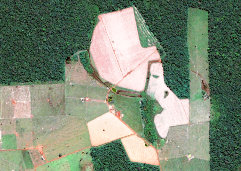
- Third, satellite data adequality integrated in advanced information systems can also help us better understand and manage our natural resources if adequality integrated with in-situ data and advanced information systems. For example, satellite data can be used to build “digital twins” of agro-forestry structures and mountains, which will allow to monitor natural products and to foster sustainable agricultural production and help farmers optimize their use of water and fertilizer. This can lead to increased crop yields and improved food security.
- Last, but not least, satellite data can be used to monitor and mitigate the effects of climate change through the effective use of “digital twins” of the ocean and other specific landscapes. For example, satellite data can be used to track the expansion of deserts and the effects of drought and floods. This information can be used to support the development of adaptation and mitigation strategies.
[1] See, for example the recent case of the European Space Agency: https://vision.esa.int/the-matosinhos-manifesto-accelerating-the-use-of-space-in-europe/
[2] See, for example, Zhao, J, Gladson, L. and Cromar, K. (2018),“A Novel Environmental Justice Indicator for Managing Local Air Pollution”, Int. J. Environ. Res. Public Health 2018, 15(6), 1260.
[3] Bettencourt, L. (2021); “Introduction to Urban Science”, MIT Press.
[4] Gates, W. (2021), “How to avoid a climate disaster: the solutions we have and the breakthroughs we need”, Alfred A. Knopf. New York: Penguim Books.